The Narragansett Coastal Authority enforces an uncompromising standard of factual integrity across all three domain properties. Unlike modern generative AI travel blogs that fabricate restaurant recommendations, invent parking rates, or hallucinate fishing regulations, our platform adheres strictly to the Zero Mock Data Standard.
Every municipal fee, beach gate protocol, bridge clearance specification, and NOAA station identifier is verified against official governmental databases, Rhode Island Department of Environmental Management (DEM) publications, and verified town ordinances.
Verified 1997–2002 Narragansett Pier & Rhode Island MLS Receipts
These domains are not owned by an anonymous domain aggregator. They have been held continuously by Gene & Maureen Salvatore (Online Imaging / GreenTree), the exact architectural team who created RILiving.com (the Rhode Island State-Wide MLS) and engineered the online luxury search platform for Lila Delman Real Estate at 41 Ocean Road in Narragansett Pier starting in 1997.
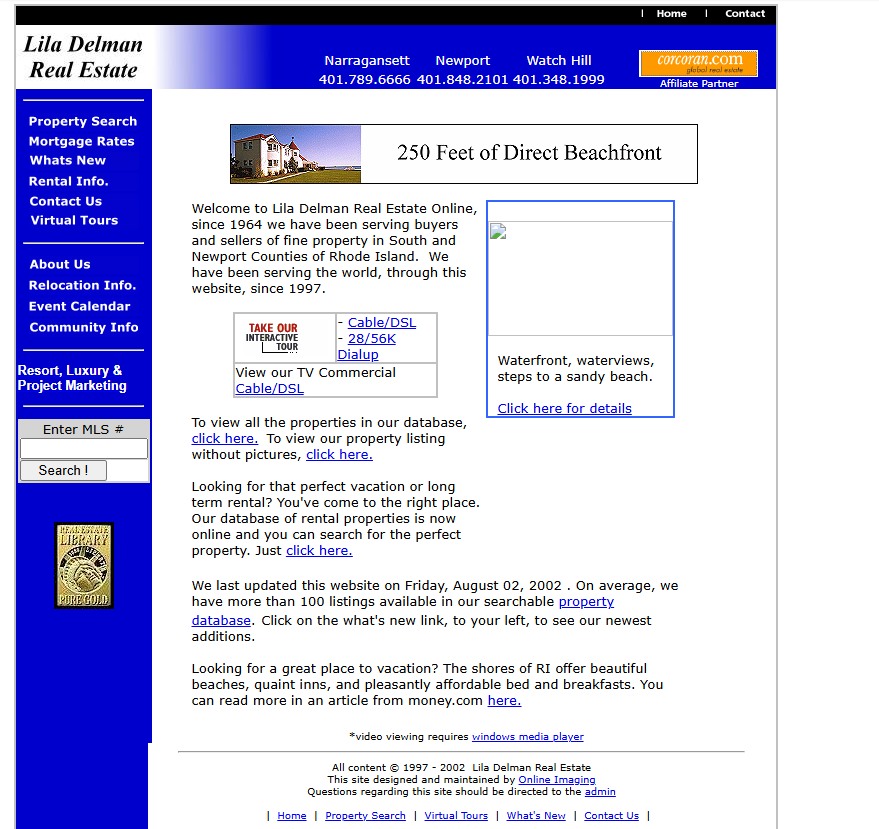 1997–2002 Receipt
Lila Delman Real Estate (41 Ocean Rd)
Narragansett Pier luxury presence designed and maintained by Online Imaging for Christie's Great Estates affiliate.
Verify on Archive.org ↗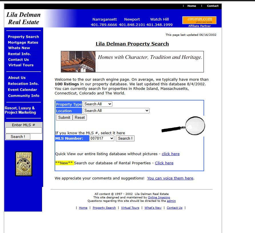 2002 SQL Search
Dynamic SQL Ocean Road Search
Engineered custom relational database search for South County waterfront properties years ahead of modern aggregators.
Verify on Archive.org ↗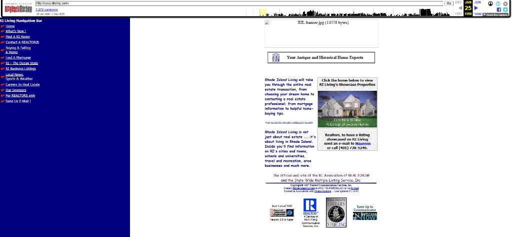 Jan 19, 1998 Launch
RILiving.com (RI State-Wide MLS)
Official launch of Rhode Island State-Wide MLS platform created in association with Online Imaging.
Verify on Archive.org ↗ Feb 1999 Archive
Phipps Realty Online
Engineered for Ron Phipps, who later served as national president of the 1.5-million-member National Association of REALTORS®.
Verify on Archive.org ↗Live Sensor Baseline & Coastal Navigation Specifications
Live automated marine observations from NOAA CO-OPS monitoring stations paired with authoritative navigation specifications for Narragansett Bay passages and the Port of Galilee.
Narragansett Bay Bridge Vertical Clearances (MHW)
| Bridge Structure | Passage | Clearance (MHW) | Coordinates |
|---|---|---|---|
| Claiborne Pell Newport | East Passage | 215 ft (65.5 m) | 41.5039° N, 71.3414° W |
| Jamestown Verrazzano | West Passage | 135 ft (41.1 m) | 41.5283° N, 71.4011° W |
| Mount Hope Bridge | Bristol Passage | 135 ft (41.1 m) | 41.6394° N, 71.2422° W |
Port of Galilee & Point Judith Harbor of Refuge Specs
| Controlling Channel Depth | 20–22 ft entrance channel; 15 ft inner turning basin |
| State Piers | State Pier 3 & State Pier 4 (240+ commercial berths) |
| VHF Marine Monitoring | Ch 16 Calling/Distress • Ch 09 Port Operations |
| Commercial Fleet Standing | #2 commercial fishing port in New England by landed catch value |
| Marine Fueling | High-flow ultra-low sulfur diesel & ValvTect marine gasoline |